


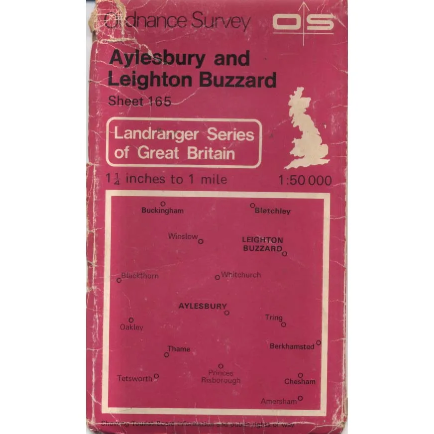
Aylesbury And Leighton Buzzard - Sheet 165
Publisher: Ordnance Survey
Format: Paperback
ISBN: none
Aylesbury and Leighton Buzzard – Sheet 165 (1981) – Ordnance Survey
Ordnance Survey | ISBN: None
Condition: Good | Sold by Crappy Old Books
Aylesbury and Leighton Buzzard. Two perfectly respectable English towns surrounded by rolling countryside, historic villages, winding roads and a remarkable number of fields whose principal occupation appears to be remaining exactly where they were yesterday. Not perhaps the most obvious setting for a thrilling adventure, but to the dedicated walker, amateur historian or enthusiast of British cartography, this corner of Buckinghamshire and Bedfordshire offers a world of possibilities, particularly if one has a decent pair of boots and absolutely no pressing appointments.
Welcome to Aylesbury and Leighton Buzzard – Sheet 165, a 1981 Ordnance Survey map from the glorious age when finding one’s way around Britain required a little preparation, a reasonable understanding of geography and the ability to refold an enormous sheet of paper without permanently damaging one’s dignity.
Ordnance Survey maps represent one of Britain’s finest contributions to civilisation. While other nations were busy developing sophisticated technologies and arguing about international politics, generations of British surveyors devoted themselves to identifying every road, railway, river, woodland and inconveniently positioned contour line with almost obsessive precision.
And thank goodness they did.
This vintage sheet captures the Aylesbury and Leighton Buzzard area as it was mapped in 1981, providing a fascinating geographical snapshot of a landscape that has experienced considerable development in the decades since. Roads have changed, housing estates have expanded, commercial developments have appeared, and places that once sat peacefully among fields may now find themselves surrounded by roundabouts and retail parks.
For local historians, this is where older maps become particularly interesting. They allow the reader to explore vanished roads, changing settlement boundaries, former railway alignments and the gradual transformation of agricultural land into the familiar sprawl of modern England.
There is something wonderfully satisfying about studying an old map and discovering that a modern bypass was once an uninterrupted stretch of countryside, or that a housing estate now containing several hundred homes formerly consisted of a field, a hedgerow and perhaps one mildly disgruntled cow.
The area itself offers an engaging combination of market towns, rural villages, canal routes and traditional English landscapes. The Grand Union Canal, in particular, provides a reminder of an earlier transport revolution, when moving goods around the country involved narrowboats, horses and considerable patience rather than enormous articulated lorries attempting to negotiate unsuitable village streets.
Published in 1981, this sheet is also a charming reminder of life before satellite navigation, online mapping and the modern assumption that every journey should be accompanied by a disembodied voice announcing instructions from the dashboard.
This 1981 Ordnance Survey Sheet 165, offered in Good condition by Crappy Old Books, is an appealing acquisition for collectors of vintage maps, local historians, genealogists and anyone interested in the changing geography of Buckinghamshire and Bedfordshire.
An absorbing piece of cartographic history, preserving a detailed picture of the region at a particular moment in time.
And an excellent reminder that Britain was once navigated almost entirely through paper maps, road signs and occasionally asking a passing stranger for directions.
Who would invariably begin by explaining that you really shouldn’t have come this way in the first place.
Keep browsing: See more Maps books Other books by Ordnance Survey
